How space technology supports the Sustainable Development Goals
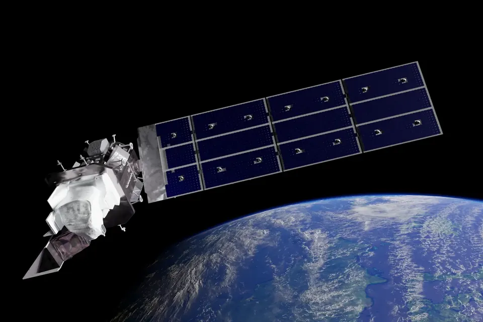
Satellites are now part of the ordinary infrastructure of development. They measure crops and forests, guide aircraft and tractors, time financial transactions, connect remote clinics and map floods within hours. None of the 17 goals is about space, but several of them would be hard to monitor without it.
Three families of space applications
Earth observation
Satellites carrying optical, radar and other sensors observe land, oceans and atmosphere repeatedly and consistently. Free and open data policies have transformed their use. The US Landsat archive was opened free of charge in 2008, and the European Union's Copernicus programme, with its Sentinel satellites, provides data on a full, free and open basis. Uses include:
- crop monitoring and yield forecasting, relevant to SDG 2;
- deforestation and land-cover change, used for SDG 15 and for national forest inventories;
- water bodies, irrigation and drought, relevant to SDG 6;
- air quality, greenhouse gases and sea-level rise, relevant to SDG 13;
- urban growth and informal settlements, relevant to SDG 11.
What the official SDG 11 indicator counts as a slum household, and what the latest figures show, is set out in our explainer on affordable housing and fair rents.
Satellite navigation
Global navigation satellite systems (GNSS), including GPS, Galileo, GLONASS and BeiDou, provide position and very precise time. Beyond navigation, they synchronise telecommunications and power grids, support precision agriculture and surveying, and underpin search and rescue.
Satellite communications
Satellites connect places that terrestrial networks do not reach economically: islands, mountains, deserts, ships and disaster zones. Large constellations in low Earth orbit have lowered latency and raised capacity, which changes the economics of rural connectivity, a recurring issue for SDG 9.c (universal and affordable access to the internet in least developed countries).
Disasters: where space is fastest
When a major disaster strikes, mapping the affected area quickly is essential. The International Charter "Space and Major Disasters", operating since 2000, is an agreement among space agencies to provide satellite data free of charge to authorised users when the Charter is activated. The UN Office for Outer Space Affairs runs UN-SPIDER, a programme that helps countries, particularly developing ones, use space-based information for disaster management. Copernicus has its own Emergency Management Service.
These mechanisms connect to the Sendai Framework for Disaster Risk Reduction 2015-2030 and to SDG targets 1.5, 11.5 and 13.1 on resilience to disasters.
The UN framework
| Body or text | Role |
|---|---|
| Committee on the Peaceful Uses of Outer Space (COPUOS) | The main UN forum on space governance, set up by the General Assembly in 1959 |
| UN Office for Outer Space Affairs (UNOOSA) | Secretariat for COPUOS; capacity-building programmes, including "Space for SDGs" work |
| Outer Space Treaty (1967) | Founding principles: exploration for the benefit of all countries, no national appropriation, no weapons of mass destruction in orbit, state responsibility for national activities |
| International Telecommunication Union (ITU) | Allocates radio spectrum and coordinates satellite orbits to avoid interference |
| Space2030 Agenda | Adopted by the General Assembly in 2021 (resolution 76/3), setting out how space can contribute to the 2030 Agenda |
Statistical work matters too. The UN Committee of Experts on Global Geospatial Information Management (UN-GGIM) and national statistical offices work on how to combine Earth observation with census and survey data in official SDG indicators, for example indicator 15.1.1 on forest area or 11.3.1 on land consumption relative to population growth.
Astronomy and development
A distinct strand concerns astronomy itself as a tool for education and development. The International Astronomical Union's Office of Astronomy for Development, hosted in Cape Town since 2011 in partnership with South Africa's National Research Foundation, funds projects that use astronomy to support education, skills and community development. Large facilities such as the Square Kilometre Array also invest in training in their host regions.
Risks: a crowded and contested environment
Space supports sustainability on Earth, but space itself is becoming less sustainable:
- Debris. Defunct satellites, rocket bodies and fragments from collisions or anti-satellite tests threaten operational spacecraft. COPUOS adopted Guidelines for the Long-term Sustainability of Outer Space Activities in 2019; they are voluntary.
- Congestion and spectrum. Large constellations increase demand for orbital slots and frequencies.
- Dark and quiet skies. Bright satellites and radio emissions interfere with ground-based astronomy, an issue raised at COPUOS by the astronomy community.
- Access. Many countries are users of space data but have little capacity to build or operate satellites, or to analyse the data themselves. Capacity-building and open data are the usual responses.
Using space data responsibly
Satellite imagery looks objective, but interpretation needs ground truth, local knowledge and transparency about methods. High-resolution imagery of homes and settlements also raises privacy questions, especially for vulnerable populations. Good practice combines open data, documented methods and validation with people on the ground.
Related explainers: LifeWatch ERIC and biodiversity data and agri-food research.
 Research infrastructures
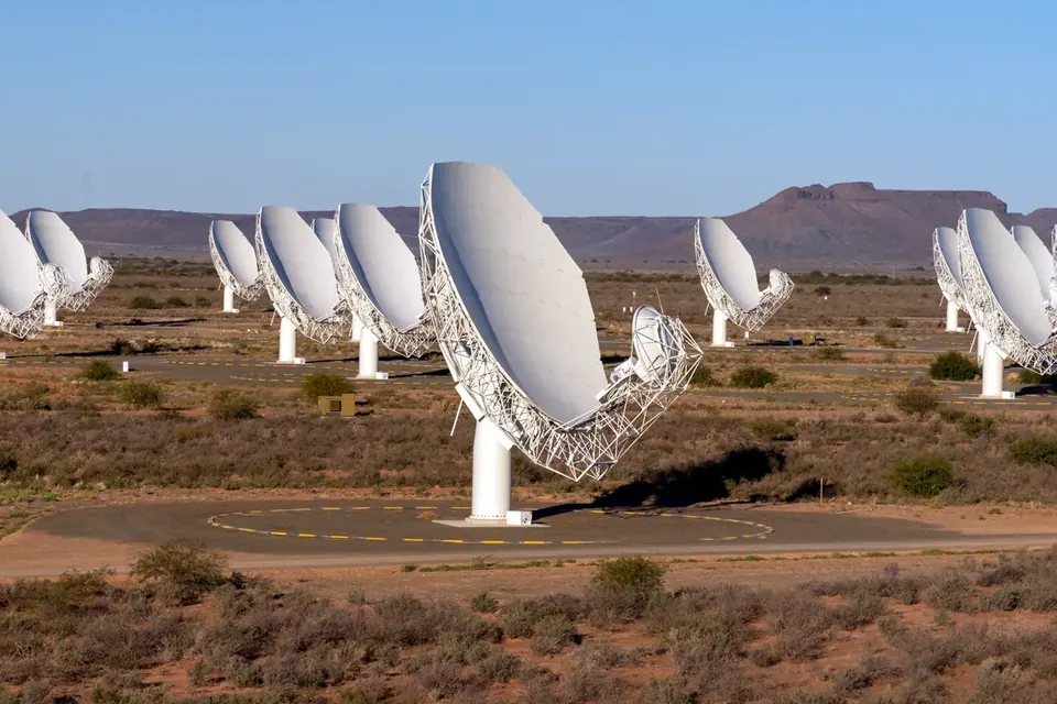
The Square Kilometre Array
Two radio telescope arrays on two continents, one treaty organisation, and a data challenge that reshapes shared computing.
 Research infrastructures
LifeWatch ERIC and biodiversity data
How a European research consortium gives ecologists shared data, models and virtual labs, and what that means for SDGs 14 and 15.
 Cooperation and skills
Digital and high-tech skills for the SDGs
What indicator 4.4.1 measures, the connectivity gap, frameworks such as DigComp, and what tends to work in building skills.